Trail Other activity La Guerche-sur-l'Aubois - Chemin Canal - Photo
© OpenStreetMap contributors
Length
Length
4.4 km
Max alt
Max alt
215 m
Uphill gradient
Uphill gradient
28 m
Km-Effort
Km-Effort  
4.8 km
Min alt
Min alt
179 m
Downhill gradient
Downhill gradient
53 m
Boucle
Boucle
No
Creation date :
2017-05-20 00:00:00.0
Updated on :
2017-05-20 00:00:00.0

(0 Reviews)

Other activity
Other activity
20m
Difficulty : Unknown

Scan this QR Code to open this trail in the SityTrail application

FREE GPS app for hiking

Logo SityTrail SityTrail

IGN / Geographical institutes

Download SityTrail from the App Store Download SityTrail from Google Play

Logo SityTrail SityTrail World

The world is yours!

Download SityTrail from the App Store Download SityTrail from Google Play Download SityTrail on Huawei AppGallery

About

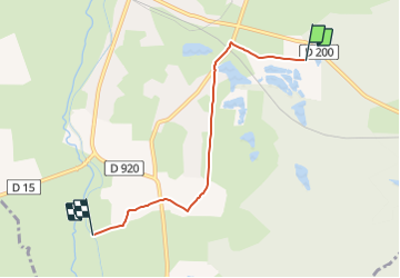
Trail Other activity of 4.4 km to be discovered at Centre-Loire Valley, Cher, La Guerche-sur-l'Aubois. This trail is proposed by blandinetom.

Description

sans voiture

Elevation profile

Positioning

Country:
France
Region :
Centre-Loire Valley
Department/Province :
Cher
Municipality :
La Guerche-sur-l'Aubois
Location:
Unknown
Start:(UTM)
497906 ; 5198706 (31T) N.

Trails nearby

Trail Road bike La Guerche-sur-l'Aubois - étape 7 - Photo
Road bike
cher truc

Road bike

Very difficult
La Guerche-sur-l'Aubois, Centre-Loire Valley, Cher, France
84 km | 92 km-effort
20h 3min
No
Trail Bicycle tourism La Guerche-sur-l'Aubois - La Guerche sous l'Aubois - Bourges  - Photo
Bicycle tourism
Wilfried Boultareau

Bicycle tourism

Very difficult
La Guerche-sur-l'Aubois, Centre-Loire Valley, Cher, France
83 km | 92 km-effort
5h 56min
No


Close
My subscriptions